The Utqiaġvik Birding Trail is a collaboration with the U.S. Fish and Wildlife Service, the Alaska Department of Fish and Game, Ilisaġvik College, Iñupiat Heritage Center, North Slope Borough Department of Wildlife Management, UIC Science, Tuzzy Consortium Library, and Audubon Alaska.
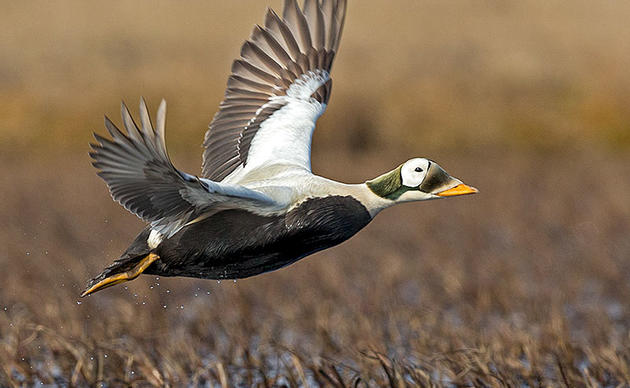
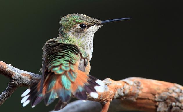
The Utqiaġvik Birding Trail offers site recommendations and descriptions, driving directions, special travel notes, and possible bird species sightings for bird tourists and Utqiaġvik residents. The trail details 10 sites throughout town, including the Stevenson Street Beachfront, Freshwater Lake at the end of Imaiqsaun Road, Nunavaaq Gravel Pit, and more.
The Utqiaġvik Birding Trail was created as a community asset for economic development and educational purposes. Utqiaġvik is the economic, transportation, and administrative center of the North Slope Borough. Located on the Chukchi Sea coast, this is the northernmost community in the United States. It is traditionally known as Ukpeagvik, or “place where snowy owls are hunted.” Utqiaġvik was incorporated as a first-class city in 1958. We respectfully acknowledge that Utqiaġvik and the surrounding land belong to the Indigenous caretakers of Iñupiat heritage.
A virtual version of the Utqiaġvik Birding Trail is coming soon. For now, you can view the trail gatefold online.