You have trained to become a master bird bander and researcher
Now that you know about longitude and latitude, you are ready to study and map bird migrations! You went to a university and learned everything there is to know about being a bird scientist (also called an “ornithologist”). You have now received funding to study how five different birds migrate north to Alaska this spring. You applied for and got a permit to band birds safely, with all the right equipment. In April, you traveled to five different places on Earth (China, Hawaii, California, Arizona, and North Carolina). At each location, you set up your banding station and safely capture five birds:
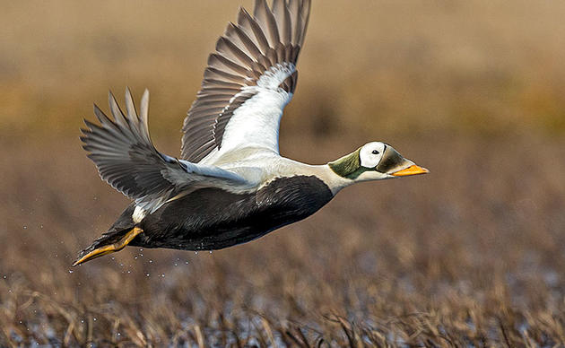
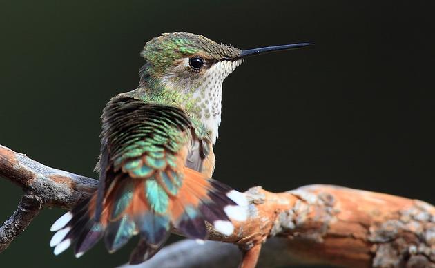
- You caught a Dunlin in China.
- You caught a Pacific Golden-plover in Hawaii.
- You caught a Pacific Black Brant in California.
- You caught a Northern Goshawk in Arizona.
- You caught a Tundra Swan in North Carolina.
For each bird, you carefully put a metal band on its leg, recorded the data, and then released the bird back into nature. After your world travels, you returned to your home laboratory, and you’re ready to start tracking your birds as they migrate up to Alaska.
Don’t forget, you need to first learn about Longitude and Latitude, before doing your own Bird Migration Map.
ACTIVITY: Mapping Bird Migrations on Paper
- Scissors
- Tape
- 5 clearly different colors of colored pencils, crayons, or pens
- White-out (to fix any mistakes on the map)
- Ruler or straight edge
Download and print out the following:
- My Bird Migration Map (4 pages: do not print double-sided)
- Data Sheet (2 pages)
- Instructions (2 pages)
Once you have completed this activity, you are ready to move on to Part 3. Be sure to keep all of your maps and data sheets.
How you can help, right now
Donate to Audubon
Help secure the future for birds at risk from climate change, habitat loss and other threats. Your support will power our science, education, advocacy and on-the-ground conservation efforts.
1% for the Planet
We are proud to be part of the 1% for the Planet network. If you own a business, please consider joining 1% for the Planet to support Audubon Alaska’s conservation efforts.