(This is the third in a series of posts on D1 lands in ALaska. Read the first post in the series here, the second here. and the fourth here.)
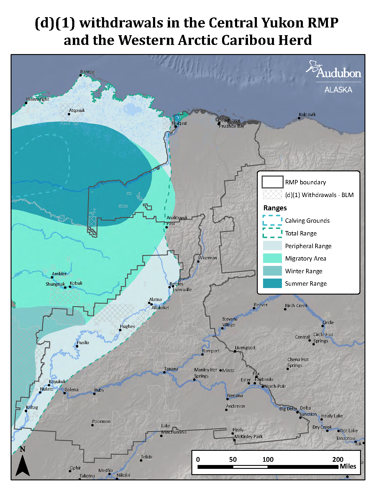
D1 lands are BLM-managed lands that fall under regional management plans. These management plans must follow proper public processes as required under the National Environmental Policy Act when they are amended, updated, or changed. On December 11, 2020, the BLM released the Central Yukon Resource Management Plan Draft Environmental Impact Statement (DEIS) with a three-month public comment period on the plan. This planning area extends from Alaska’s interior region to the North Slope. It encompasses communities like Nulato and Healey, and the Parks highway road corridor along with lands on the North Slope near Nuiqsut and along the Dalton Highway.
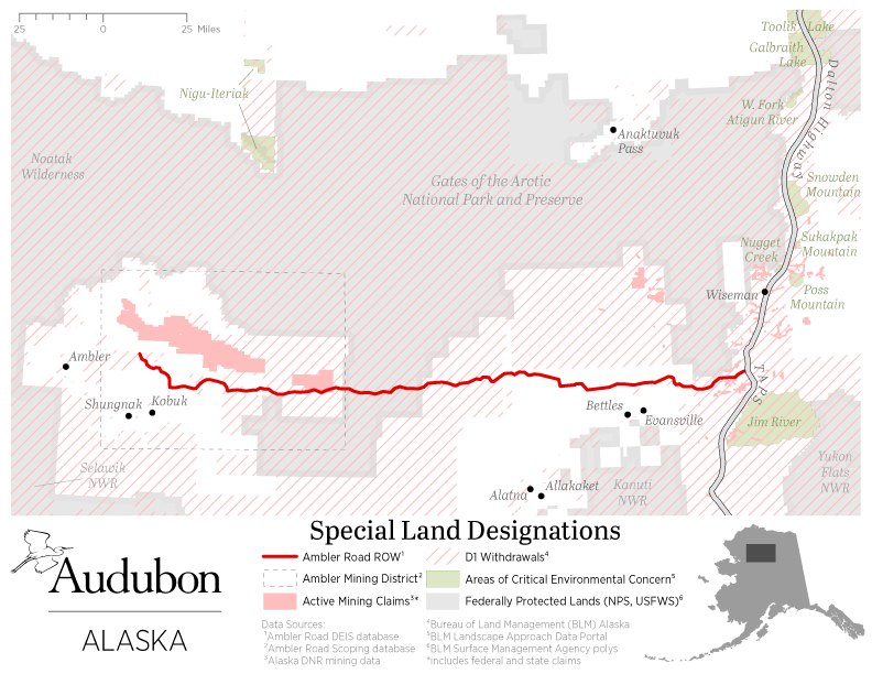
Some of the lands in the Central Yukon planning region cross the proposed Ambler Road corridor and these areas are highlighted on the map that shows the proposed road development and the D1 lands that will be impacted by the proposed road.
The lands across the Central Yukon planning region encompass areas of both discontinuous and continuous permafrost. They extend from the boreal forest south of the Brooks Range to the North Slop and Arctic Coast of Alaska. These lands are shifting rapidly with climate change. Lakes are drying up, and new ponds are forming with thermokarst formation. The Central Yukon DEIS does not currently address the impacts of climate change on regional communities, and the potential impacts of opening new areas to mining under the draft plan’s analyses. The draft plan ignores the impacts of opening areas to mining for subsistence, recreation and traditional uses of the lands and waters in the region. Recent climate analyses done by Audubon highlight the importance of this region for wildlife migrations and large landscape conservation.
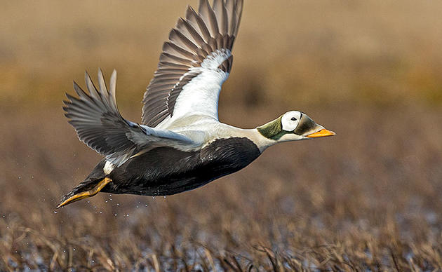
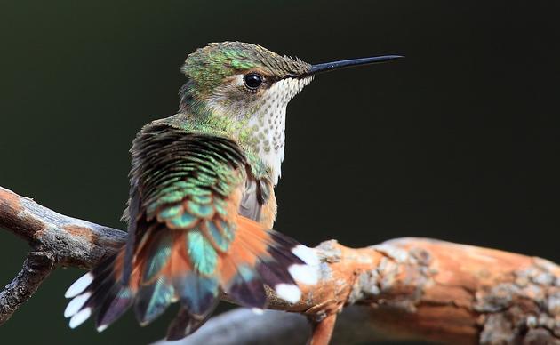
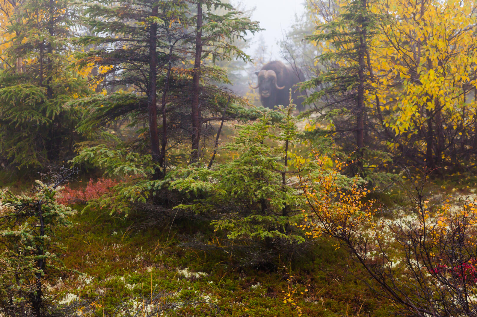
The planning region stretches across 56 million acres, and encompasses important habitat for the Western Arctic Caribou Herd. The Western Arctic herd is the largest caribou herd in Alaska and the largest terrestrial migrating herd of mammals in the world. Muskoxen, Dall sheep, brown bears, and hundreds of migratory bird species are also found in the region. The Central Yukon planning area includes core winter, summer, and migratory range for these caribou.
We encourage everyone to take time and comment on the lack of climate change and subsistence use analyses in the DEIS. Take action today! You can find the planning materials here. For updates on this process and to recieve future action alerts asking for your involvement in the public comment process, sign up here.
By Natalie Dawson
Speak Up for Alaska's Public Lands
Please send a public comment to insist the plan includes environmental protections to conserve wildlife habitat and preserve traditional land uses.


