The completion of our two-year long process to produce the Ecological Atlas of the Bering, Chukchi, and Beaufort Seas was really just the beginning. The atlas fledged in August 2017, and since then, it has taken flight into many different arenas. The atlas is now being utilized by numerous land managers, researchers, policymakers, and community members.
Outreach. The atlas is a compilation of hard-earned data collected over decades by Arctic researchers, delivered in a visually compelling and accessible way similar to a coffee-table book of Arctic science. This compendium of carefully crafted maps, striking photos, and thorough natural history has attracted a lot of attention—earning kudos from National Geographic, Esri (a leading GIS software company), the Secretary of the Interior, and many others. In order to share this tool with as wide an audience as possible, Audubon Alaska distributed over 1,000 digital and hard copies of the atlas, presented at numerous conferences and government agency meetings, and hosted multiple public events showcasing the publication. The atlas is available free for download here.
Data. The atlas itself is but one view into the large geodatabase behind this project. In the coming months, Axiom Data Science will create an interactive data-viewing platform hosted by the Alaska Ocean Observing System within their Arctic Data Portal. Users will be able to view and download data, as well as review attributes and metadata. We are also working with NOAA to add our data into their Arctic oil spill response tool, the Environmental Response Management Application (ERMA).
Conservation. These spatial data provide detailed information about physical and biological functions and patterns. In collaboration with Oceana, we are harnessing the richness of these data to identify ecological hotspots of the three seas. We are also assessing vulnerability to stressors such as vessel traffic and offshore energy. Stay tuned for this publication later in 2018.
Having the solid foundation of spatial data and ecological knowledge captured in the Ecological Atlas of the Bering, Chukchi, and Beaufort Seas sets us up well for responding to resource issues in Alaska’s Arctic seas. The adventures of our newly fledged atlas are only beginning and we look forward to watching its impact on Arctic science and policy grow over the coming years.
Our Atlas By the Numbers
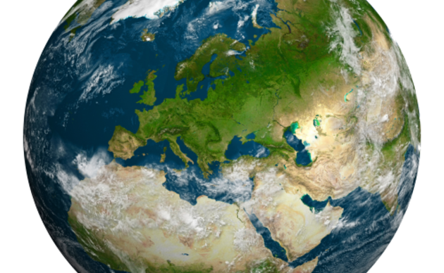
1.7 million square miles of ocean analyzed
50 Arctic species highlighted
131 maps produced
350+ map data sources from 50+ data providers
185 composite GIS layers in the final maps
1,800+ references cited in the atlas
20+ public presentations delivered
1,000+ copies distributed

Protect the Ancient Trees of the Tongass National Forest
Tell the U.S. Forest Service and the USDA to halt the removal of protections for the Tongass National Forest and include Tribal Governments in a new rule-making process.