This is the third in a series of blog posts by Ben Sullender, Spatial Ecologist at Audubon Alaska. Throughout the series, Ben shares his experiences and reflections from his recent 14-day, 200-mile adventure in the Arctic National Wildlife Refuge. He was joined by Sarah Glaser. The two of them set out from Arctic Village, hiking and paddling their way to the Arctic Ocean.
Over the next few days, we pressed into the core of the Brooks Range. With no pre-determined route, we decided on our course day by day, connecting various passes and trending towards creek beds whenever possible. The gravel bars made for excellent travel, as most of the rivers and creeks were running low this late in the season. Wildlife and wildlife signs were everywhere—sandpipers hopped along streams, Dall sheep dotted the mountainsides, and massive shed antlers from moose and caribou sprung up among alders. In impossibly isolated pools, large grayling held steady against the current, and wolf paw prints were common on muddy banks.
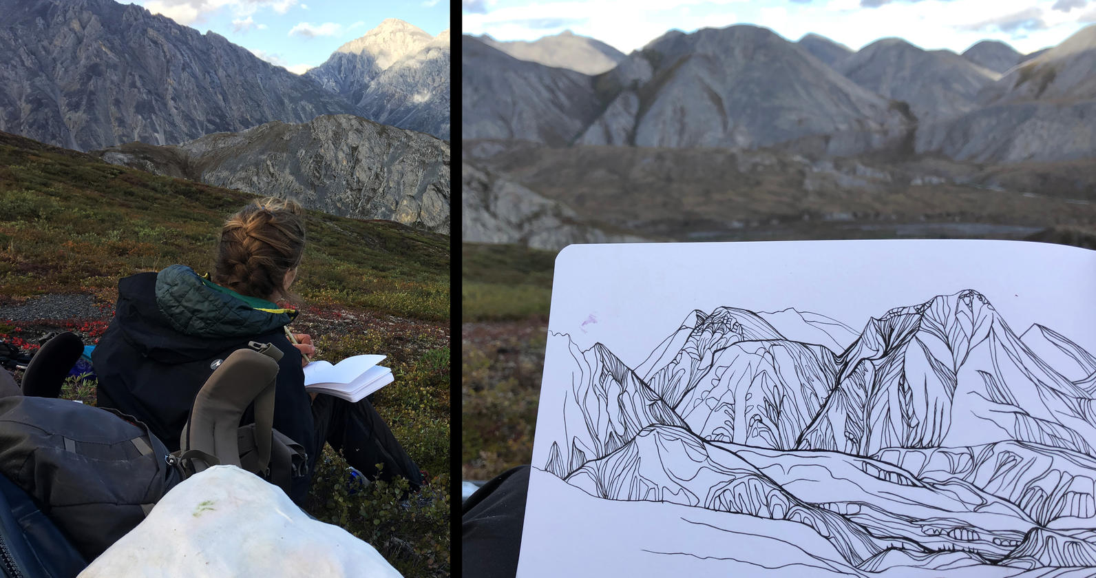
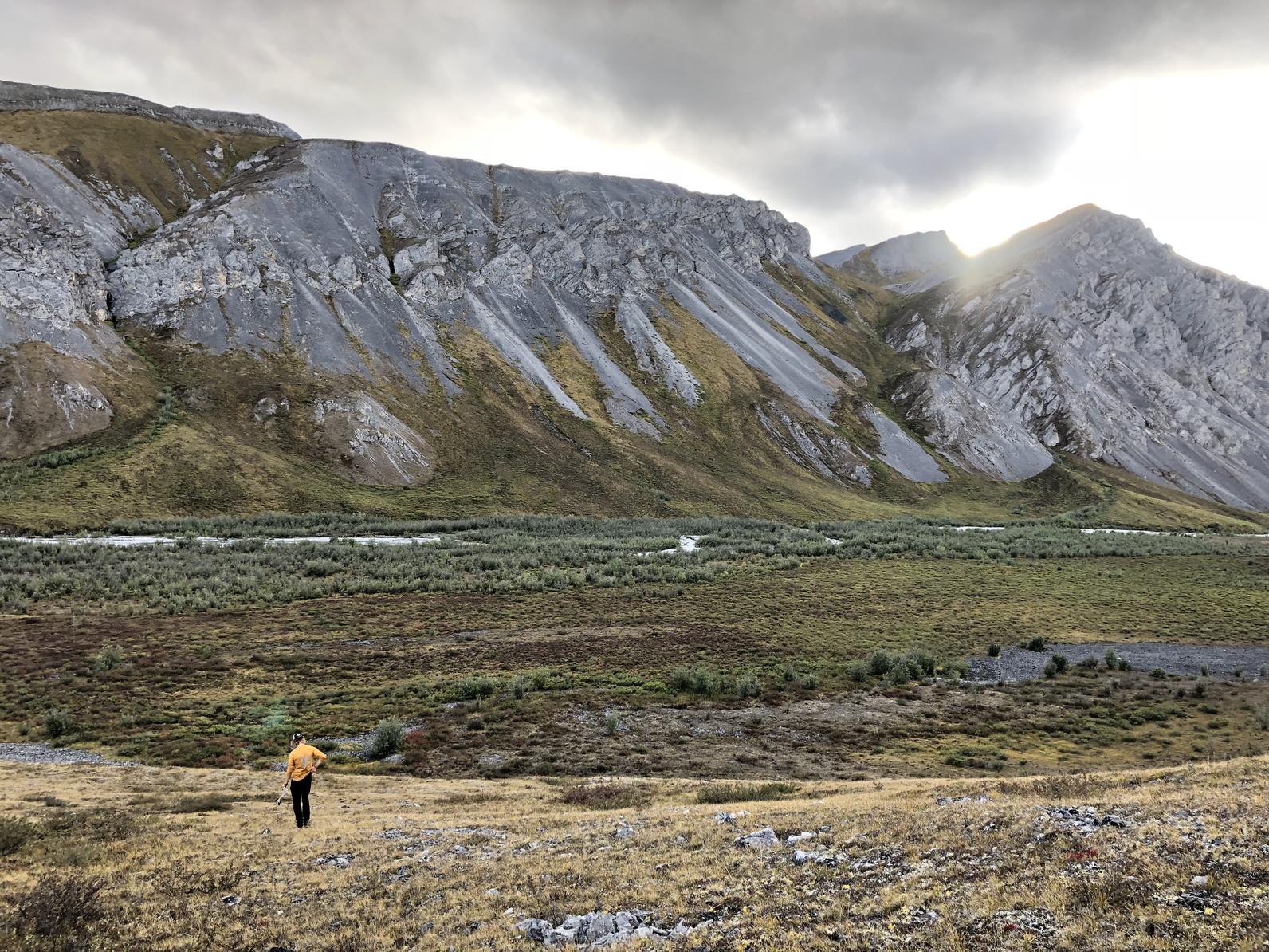
We gained and lost a lot of elevation, and, although our heavy packs made upward progress arduous, we took frequent “morale” breaks to drop our packs. Temporarily freed of our burdens, Sarah pulled out her sketchpad and drew our surroundings, and I roamed the hillsides in search of blueberries, water sources, and cool geological formations—all of which were abundant, so I never had to look very hard.
In the valleys, ridges, and passes, well-trodden caribou trails provided a smooth respite from tussock-covered lowlands. Centuries of following the same migration corridors meant that caribou act almost as a geological force on the landscape. In high passes, we’d note smooth pathways where repeated caribou hooves crushed and leveled stretches of steep, sharp scree fields into gently graded slopes. At lower elevations, similar paths cut through mazes of alders and flattened out narrow walkways through tussocks.
Although caribou generally take slightly different routes as conditions permit, they still return to similar places every year, following ancient migration corridors through a combination of genetic memory and active habitat selection. Migration is an essential component of caribou life history, as long-distance movements allow caribou to respond to dramatic variations in habitat conditions within and across seasons. The focal point of the entire annual migration cycle is the calving area, a relatively small region where almost all pregnant cows (female caribou) give birth synchronously in early June. Calving grounds are such a prevalent and persistent feature of caribou life history that different caribou herds are defined by which calving areas they use. The 200,000-strong Porcupine Caribou Herd (named after the Porcupine River, not the prickly mammal) roams over 60 million acres across the US and Canada, but generally returns to the same region of the Arctic coastal plain within the Arctic National Wildlife Refuge for calving.
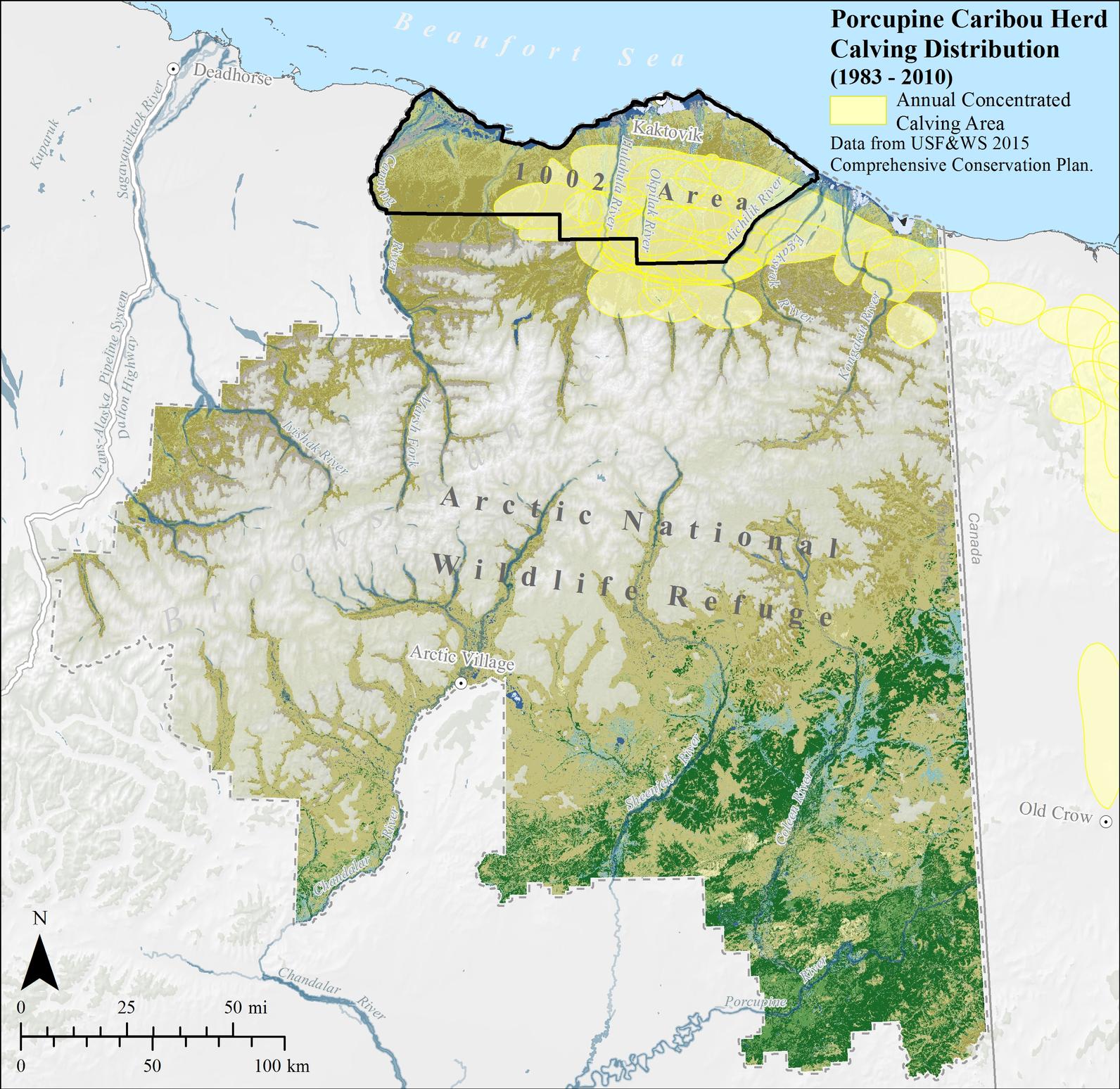
With the passage of the tax bill in 2017, the portion of the coastal plain within the Arctic National Wildlife Refuge—the same area of vital importance to calving caribou—is now being considered for oil and gas development. Strong evidence from other Arctic Alaska caribou herds shows that oil development generally displaces female caribou from preferred calving habitats, and that some infrastructure acts as a barrier to migrating pregnant females. If similar development were to unfold on the critical calving grounds of the Porcupine Caribou Herd, experts agree that the impacts could be severe.
For now, though, Porcupine Caribou Herd number about 200,000 individuals, and, with minimal infrastructure currently in their seasonal range, their herd is healthy and increasing in number. Although Sarah and I were traveling in the fall, when the herd generally splits up into smaller groups for southward migration, we still saw a few dozen individuals. Signs of caribou, from sheds to clumps of hair to scat to the aforementioned trails, were much easier to spot and proved ubiquitous throughout the Arctic Refuge.
The caribou trails led us to and across Red Sheep Creek, which delineates the Refuge’s southern section from the Mollie Beattie Wilderness. The Mollie Beattie Wilderness comprises some 8 million acres of the central Refuge and is named after the first female director of the US Fish & Wildlife Service, a pioneering figure who understood the value of wilderness on all terms. As if on cue, as we made our way across the creek and up a slope on the other side, a small airplane buzzed along the valley then banked sharply right at the wilderness boundary, turning back south towards Arctic Village and other airstrips. This wilderness is free of mechanized interlopers, and that distant airplane was the only indication of other people that we would see for the next six days.
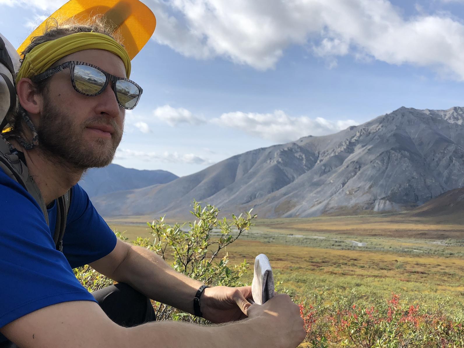
Just ahead of us was what we knew would be the hardest part of our journey: the Arctic Continental Divide, the line that separates watersheds flowing into the Pacific from those flowing to the Arctic. Cresting this geographical barrier would require us to gain nearly 6,500 feet in elevation, and, due to our unforeseen starting location, we were days off-course from any of the usual known passes over the Divide.
Read all of the blog posts in this series:
Arctic Refuge Ramble: Ben’s Journey across the Arctic National Wildlife Refuge
Arctic Refuge Ramble: Arctic Village
Arctic Refuge Ramble: Into the Wilderness

