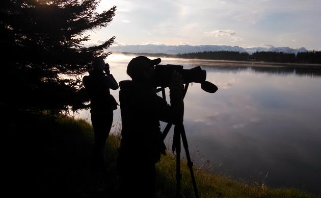
AB Mountain Trail
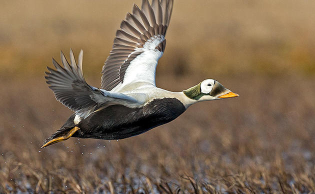
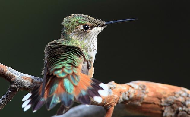
The AB Mountain Trail, also known as the Skyline Trail, yields great views of the city of Skagway and the Taiya Inlet fjord. Many people hike only the lower first 2 miles of trail which is well marked and requires moderate effort. The full trail gains 5,000 feet in elevation over its 5-mile length as it passes through coastal forests of spruce and hemlock to brushy subalpine areas and then finally into alpine habitats near the summit. Alpine portions of the trail are not clearly defined and marked with only rock cairns. The upper trail is considered difficult and can be dangerous above tree line. Hikers should pay attention to weather conditions and avoid snow and ice fields while hiking. During the spring, summer, and fall, birders may encounter: Sooty Grouse, Myrtle Warbler, Chestnut-backed Chickadee, Ruby Crowned Kinglet and Hermit. During the winter, look for: Sooty Grouse, Brown Creeper, Chestnut-backed Chickadee, and Common Redpoll.
Directions:
To drive to the AB Mountain trailhead: From Klondike Highway turn onto Dyea Road, and go about 2 miles to a small parking area on the left. The trail starts across the road. Alternatively, you can walk to the trailhead from town by crossing the footbridge over the Skagway River located at the Airport Terminal parking lot, then turn left and hike to the intersection of the trail with a rough access road to the right. Follow the access road uphill to Dyea Road, then turn left and the trailhead will be about 500 feet away. It is an approximately 3/4 mile hike from the footbridge to the AB trailhead.

Birding Resources:
- eBird Hotspot: None
Bird Species Checklist:
Other Resources:
Amenities
| Restrooms | No |
| Water | No |
| Platform | No |
| Fee | No |
| Parking | Yes |
| Trails | Yes |
Are you ready for the Southeast Alaska Birding Trail?
Find gear lists, birding tips, and general advice.
How you can help, right now
Donate to Audubon
Help secure the future for birds at risk from climate change, habitat loss and other threats. Your support will power our science, education, advocacy and on-the-ground conservation efforts.
1% for the Planet
We are proud to be part of the 1% for the Planet network. If you own a business, please consider joining 1% for the Planet to support Audubon Alaska’s conservation efforts.